
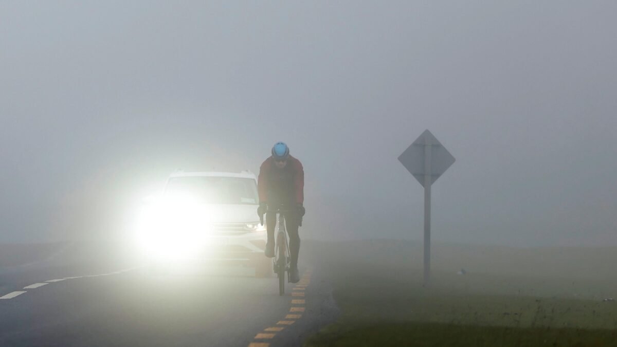
Dense fog warnings are in force across large parts of England, eastern Wales and Northern Ireland for Monday morning, with the Met Office cautioning that visibility could drop below 50 metres in some locations and cause significant travel problems.
Where the warnings apply

The wider warning for England and Wales remains active until 11:00 and spans a broad southern swath of the UK. It reaches from Canterbury to Cardiff, from Hull to St Asaph, and from Southampton to York. London, Birmingham and parts of Greater Manchester are also covered.
A separate yellow fog warning for Northern Ireland is in place until 10:00.
Forecasters expect the fog to thin gradually during Monday morning, though isolated patches may persist into the afternoon. Commuters should also prepare for a cold start, with temperatures generally in low single figures and ground frost probable in many areas.
Travel advice and airport guidance

Heathrow has urged people driving to the airport to leave more time because overnight fog has reduced visibility on nearby roads. The airport advised passengers to confirm details with their airline before setting out and to drive carefully.
The Met Office recommends checking road conditions before departure, switching on fog lights when visibility is seriously reduced, and allowing extra time or adjusting plans where needed. Sudden changes in visibility make patchy fog especially hazardous.
The RAC motoring organisation suggests leaving a larger stopping gap between your vehicle and the one in front.
For those using buses, trains, ferries or flights, operators should be checked for updates. Aircraft require greater separation when landing in fog, so flights may be delayed.
Weekend fog brought serious incidents

Saturday night already saw thick fog across parts of England and Wales. It made an FA Cup match between Altrincham and Notts County difficult for spectators, and it contributed to a 30-car pile-up on the M20 in Kent that left two people seriously injured. A separate 19-car collision occurred on the A303 in Hampshire.
Why fog is more widespread

Clearer skies over England and Wales are expected to let heat escape more quickly, pushing temperatures down and allowing fog to spread more widely than the previous night. Patchy fog may also form beyond the warning areas in northern parts of the UK where skies stay clear long enough.
Fog develops when air cools and water vapour condenses into tiny droplets that remain suspended near the ground, effectively creating cloud at surface level. Mist forms in the same way but is less thick, with visibility typically above 1,000 metres.
With visibility of 50 metres or less capable of causing severe disruption, travellers are advised to plan carefully and stay alert to changing conditions.