

The polar vortex weakening currently underway above the Arctic is the earliest such event in modern records, according to the Met Office, but it does not ensure snow for the UK this winter. Scientists are watching closely because the circulation’s unusual timing leaves forecasters with few historical parallels.
A circulation disrupted far earlier than usual

Every autumn, as Arctic temperatures drop, strong westerly winds form in the stratosphere, roughly 10 to 30 miles above the surface, and help keep the coldest air near the pole. That is the polar vortex.
In recent days those winds have weakened and the vortex has shifted, stretching and briefly splitting into two smaller circulations around the Arctic. Some forecasts suggest the winds could reverse direction by mid-November, which would qualify as a major sudden stratospheric warming (SSW) event.
Jeff Knight, lead climate scientist at the Met Office, told the BBC that the event appears to be the earliest in the 75 years of observations, and that most experts agree it is very unusual. The previous earliest major SSW occurred on 28 November, in both 1969 and 2025.
Why the timing matters

When the stratosphere warms suddenly, the vortex can weaken and eventually reverse. In the following days and weeks, the jet stream can shift, raising the chance of a blocked pattern that brings drier conditions and colder northerly or easterly winds. That can increase the risk of snow, particularly in eastern parts of the UK.
But most SSW events occur in mid-winter. This one is happening while the Arctic is not yet as cold as it becomes later in the season, and the vortex itself has only recently formed. Any influence on weather patterns could therefore be weaker than a mid-winter disruption.
Professor Andrew Perez-Charlton, a meteorologist at the University of Reading, said the typical response to an SSW is colder and drier conditions over Europe and the UK, but because this event is so unusual it is harder to anticipate a cold spell at present.
El Niño's uncertain role

The reasons for such an early event are not clear. It could simply be part of natural variability. In a normal El Niño year, the polar vortex tends to weaken towards the end of winter, as warmer Pacific waters disrupt tropical weather and send planetary waves that can disturb the polar circulation.
With the current record El Niño taking the world into uncharted territory, Knight suggested it could have helped load the dice for this SSW, though he cautioned that the event is so rare there is not enough evidence. Any link between a strong El Niño and an early SSW remains unclear and requires further research.
Snow still far from guaranteed
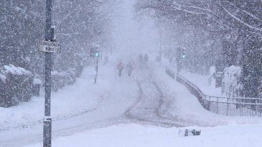
The Met Office’s long-range forecasts had pointed to a stormy start to winter followed by a colder spell at the end, consistent with El Niño expectations. The early SSW was not widely anticipated.
While the vortex disruption raises the possibility of colder weather later, the UK is not yet locked into a snowy scenario. The Arctic air is not at mid-winter temperatures, and the vortex has only just developed, so its influence may be limited.
Drought concerns grow
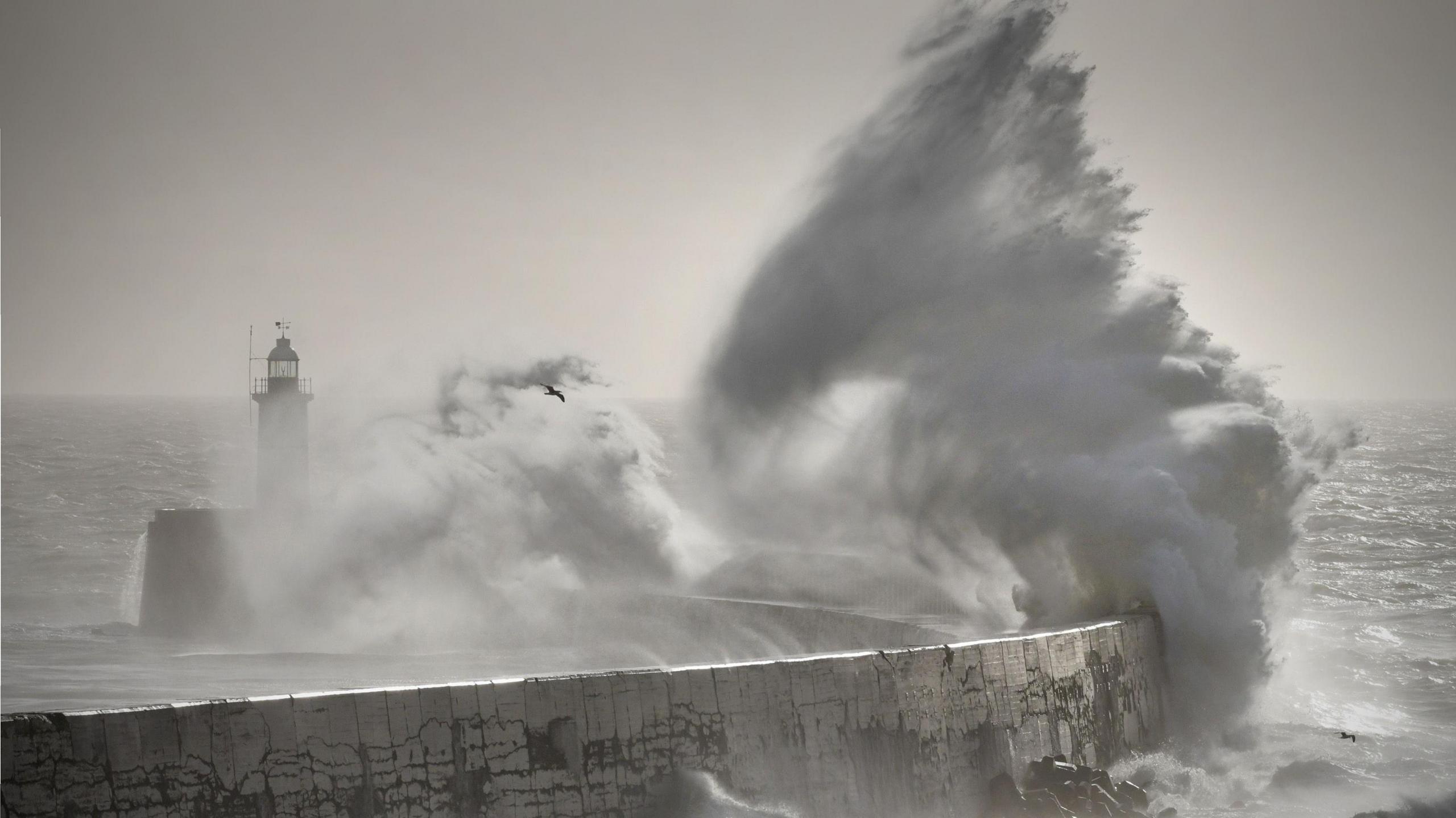
Perhaps the bigger worry is rainfall. Much of England and Wales remains in drought, and reservoirs are extremely low. A wetter winter is needed to replenish them.
Perez-Charlton said the concerning outcome would be if the event ends up bringing the typical drier pattern and lack of rain associated with sudden stratospheric warming over the coming months.
For now, experts stress it is too early to know whether the polar vortex changes will alter the winter outlook. The record-early disruption adds uncertainty to forecasts that were already complex because of El Niño.


